
Turning an Oakdale Street Into Parcels
A reliable Oakdale street directory search is a parcel-by-parcel walk. Standardize the street number, directional prefix, street name, suffix, and unit before opening a record. Then treat the address as a locator, not as proof of who lives there. GIS supplies the shape and APN. The Assessor supplies owner and property fields. RecorderWorks supplies the party trail after an owner or legal description is known. City permits add project history, and older directories may add a listed occupant or telephone.
- Run the address through the county Accela property lookup and note the APN, jurisdiction, and any record number returned.
- Open the Stanislaus County GIS Hub, zoom to the parcel, and note the surrounding APNs and boundary layers.
- Use the APN at an Assessor public kiosk or the free parcel inquiry, keeping situs and mailing address in separate notes.
- Search the owner or grantor and grantee names in RecorderWorks, checking the legal description and recording date.
- Request city or county permit fields, then consult a library reverse section for historical occupants when the edition and address can be confirmed.
The output is a chain: address to APN, APN to owner, owner to deed, deed to prior owner, and address to historical household evidence. The chain is stronger when each step has a date and an identifier.
Accela's Oakdale Address Search
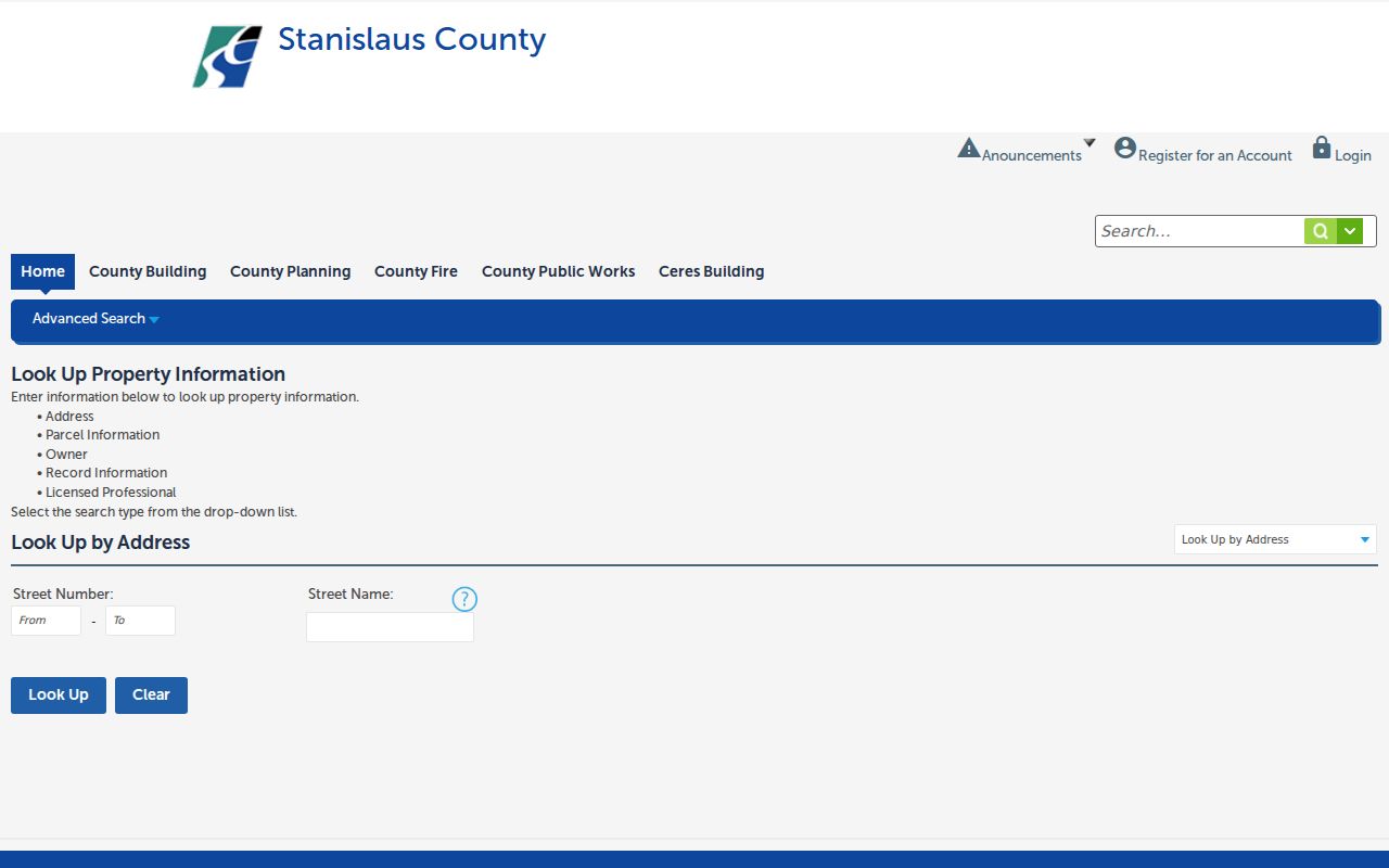
The county development portal is a practical first stop because its search choices are built around property and record clues. The Stanislaus Accela property lookup exposes Address, Parcel Information, Owner, Record Information, and Licensed Professional modes. Address mode shows beginning and ending street-number controls plus a street-name field. A street suffix can cause a miss, so try the name without the suffix when the first search returns nothing.
| Portal field | Input type | Oakdale use | Important limit |
|---|---|---|---|
| Search type | Dropdown | Address, Parcel Information, Owner, Record Information, Licensed Professional | Each mode returns a different record family |
| Street Number | Range or text | Test one number or an address segment | A range is a search aid, not a household list |
| Street Name | Text | Enter the normalized street name | Try a shorter form if no match appears |
| Look Up / Clear | Buttons | Run or reset the search | Record the APN before leaving the result |
County jurisdiction is not guaranteed for every incorporated-city permit. A result can point toward county development records while Oakdale Community Development remains the city fallback. The address search is valuable because it translates a street clue into the identifier needed by other offices.
Image context: the Accela address and parcel lookup shows the property-search modes used before an Oakdale street directory trail moves to the Assessor.
Keep the address spelling and APN together. A clean identifier is more useful than a long list of name guesses.
Oakdale Records by Street and Address
Address-keyed records overlap, but they do not mean the same thing. GIS shows geometry and jurisdiction. The property roll shows owner and parcel characteristics. RecorderWorks is mainly party-name keyed, so the APN and legal description must come first. A qualified voter file can be filtered by residence address, while the public My Voter Status tool cannot browse a street. Permits show applicants, contractors, and projects, not an automatic occupant roster.
| Record set | Keeper | Street evidence | Access channel |
|---|---|---|---|
| Parcel and assessment roll | Stanislaus Assessor | APN, owner, situs, mailing address, values, exemptions | Free APN inquiry; public kiosk; restricted name/situs service |
| Parcel map and GIS | Stanislaus GIS and map offices | Adjacent polygons, APNs, layers, districts, road context | Online viewer and map layers |
| Deeds, liens, maps | Clerk-Recorder | Recorded parties, transfer dates, legal description, locator | RecorderWorks, counter, phone, mail form |
| Permits and code files | Oakdale Community Development or county | Applicant, contractor, project, inspection, status | Portal where available; counter or CPRA request |
| Voter file | California and Stanislaus Elections | Registered voters by residence when lawfully released | Self-lookup or qualified-purpose request |
| Reverse directory | Stanislaus Library Special Collections | Historical listed occupant or phone by street and number | Noncirculating, in-library reference access |
The coverage table explains why a street directory cannot be one flat export. It is a set of layers, each with a custodian and an access boundary. The same house can have a current owner, a different mailing address, a former owner in the deed chain, and no public entry for a current occupant.
Oakdale's Situs, Mailing, and Legal Descriptions
Situs means the physical parcel location. Mailing address means where the owner or tax correspondence is sent. The legal description uses a lot, block, subdivision, or metes-and-bounds description. The APN is the Assessor map and roll key. A ZIP code describes delivery geography. These labels look similar in a search result, but they answer different questions.
- Parcel
- A mapped unit of land with an APN and a legal description.
- Situs
- The physical location of the parcel, which can differ from the owner’s mailing address.
- Plat
- A recorded map showing a subdivision, lots, blocks, easements, or related land geometry.
- APN
- The Assessor’s identifier used to connect a map, roll, and property inquiry.
- Criss-cross directory
- A historical street-order directory section that may list an occupant or telephone, subject to the edition’s coverage.
Use the legal description to cross a street change or parcel split. A street label can be altered, while a lot, block, subdivision, or deed description remains the better continuity clue. An APN can also change after a split or merger, so compare the deed language and map rather than assuming two numbers describe the same land.
Image context: the Assessor’s published access choices explain the free APN and kiosk route alongside the restricted owner-name and situs search.
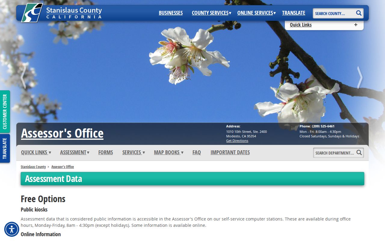
The public kiosk is useful when an APN is known or can be found from a map. It does not convert the parcel roll into a list of every Oakdale household.
Image context: the Stanislaus Assessor role and counter guidance identifies the office that prepares the roll and keeps parcel maps.
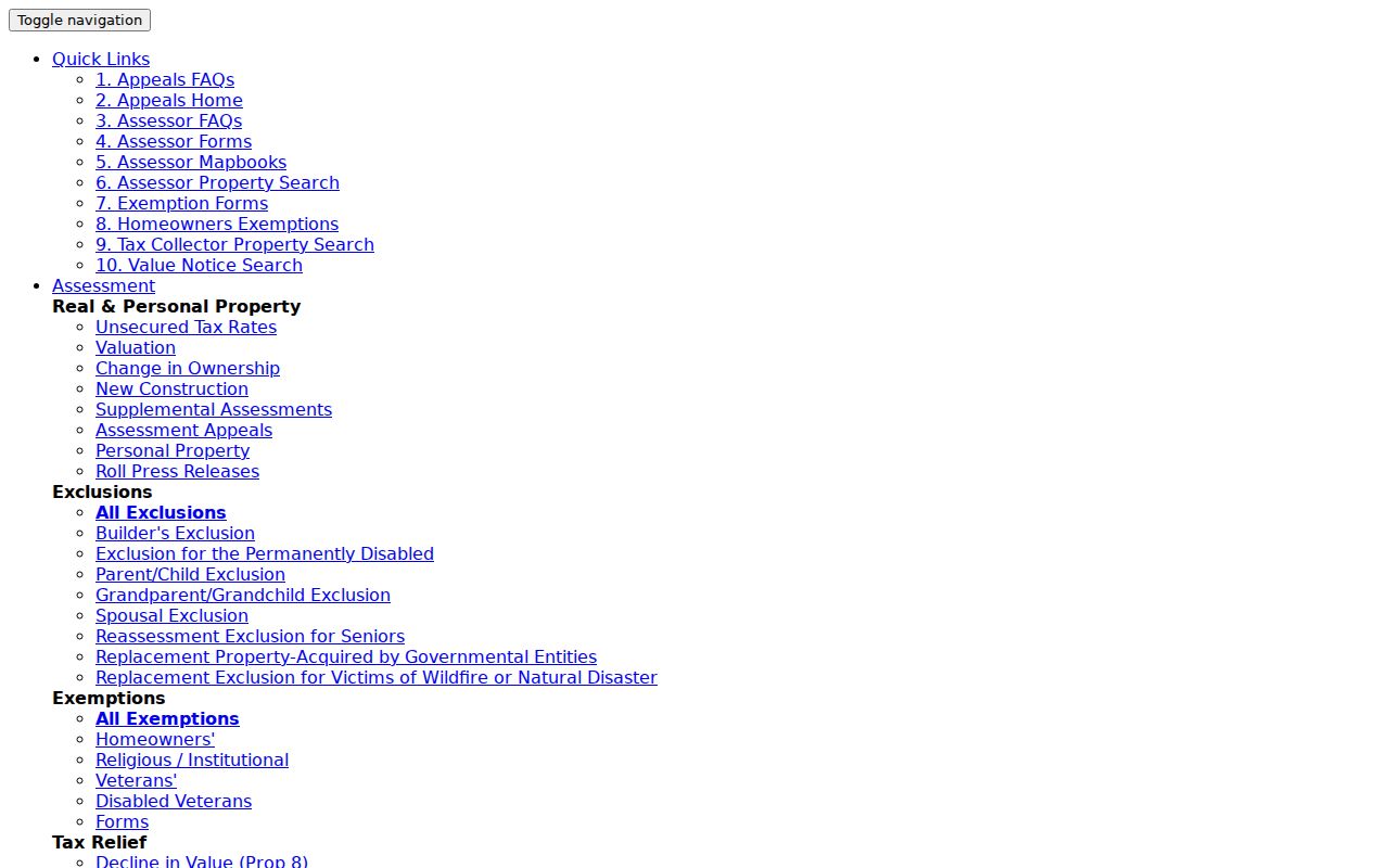
The counter is another access channel when an online address trail is incomplete or an APN needs to be confirmed.
Following Oakdale Street Owners Into RecorderWorks
RecorderWorks is principally a party index, not a dependable address browse. Start with the current APN and owner, then search the owner as a grantee to find the acquisition document. Read the deed for grantor, grantee, recording date, instrument number, legal description, and any APN or lot references. Search the seller as an earlier grantee, constrain the dates, and repeat. Grantor is the transferor; grantee is the recipient. On a lien or judgment, those roles may describe a debtor and creditor rather than a simple sale.
For an Oakdale street segment, repeat the process parcel by parcel. A name appearing on one deed does not attach that person to every home on the street. The index advertises coverage from 1 January 1850 to present, but the date range reflects the index claim, not a promise that every image is online. Office guidance distinguishes computer index and images from 1978 forward and older grantor-grantee books. The book/page route is essential before the modern instrument-number system.
When a copy is needed, save the document number or volume and page first. Online index discovery, a public counter terminal, phone guidance at the recorder, and the official mail form are separate access channels. A locator turns a vague street question into a request the custodian can actually process.
Oakdale Permits Put Dates on Properties
Oakdale Community Development, at 455 South Fifth Avenue, handles land-use planning, entitlements, annexations, building plan checks, permits, inspections, and code enforcement. The office is listed at 209-845-3625 and is open Monday through Thursday from 7:00 to 4:30, closed Fridays. A permit file can supply an applicant, owner, contractor, project description, parcel, and date. Those fields help build an address history when a deed chain is silent about construction or change.
A permit applicant is not automatically an occupant. Code complaints can also contain protected complainant material. Request existing fields for a defined address or APN and date range. A useful city request names permit number, application date, issue date, final date, work description, applicant or contractor field, and status. If the parcel is outside the city, the county development route may be the proper custodian.
Image context: the Oakdale Community Development office is the municipal route for planning, permits, inspection, and code records tied to city property.
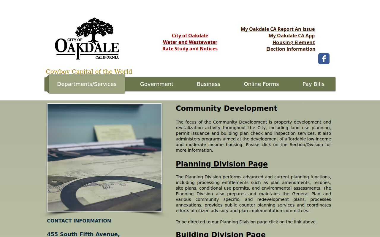
Permits add a time-stamped project layer to a street directory. They do not replace the owner record or prove that an applicant lived at the property.
Oakdale Voter Files and Street-Level Limits
A public visitor cannot type an Oakdale street into My Voter Status and receive a neighbor list. The tool is a private identity check. Street-level filtering is possible only after a qualified-purpose voter file is approved under Elections Code §2194. The request can include residence address, precinct, party preference, inactive status, and participation history, while protected voters and sensitive identifier fields are excluded.
The restriction matters for both access and interpretation. A registered voter is not every resident. An inactive status can reflect list maintenance or an address-confirmation issue, not death or ineligibility. Safe at Home and confidential-voter records are withheld. Use the election office’s official request channel when the purpose qualifies, and never publish a street roster merely because a file can be obtained.
Search boundary. The public Oakdale street directory route can use parcel and historical sources. Voter address data requires the California purpose and security rules that govern the file.
Reverse Directories for Oakdale Households
Historical reverse or criss-cross directories are the address side of the street directory. Stanislaus County Library Special Collections identifies non-current telephone directories and city directories as research holdings, but the public web record does not list exact Oakdale publishers or year runs. Ask the reference desk for every title containing Oakdale, Stanislaus County, reverse directory, criss-cross, telephone directory, or street guide, and ask whether a street section exists in each edition.
At the shelf, photograph or transcribe the title page, publisher, year, geographic scope, abbreviation key, and a neutral historical entry within library rules. Check whether numbered streets sort numerically, whether directional prefixes are separate, and whether the name section agrees with the street section. A gap may mean no telephone, rural delivery, a spelling variation, an unlisted person, or a year without publication. The full historical collection belongs with the Oakdale Directory Book, not with a current parcel export.
Oakdale ZIP Addresses Outside City Limits
ZIP 95361 reaches beyond Oakdale’s incorporated boundary and sphere of influence. A mailing address can therefore use Oakdale while a permit, code, or parcel matter belongs to Stanislaus County. The city’s land-use diagram shows city limits, current and future spheres, and a wider planning area. Check the parcel and map before assuming that the city name in a mailing line selects the city office.
The same distinction helps with street records. USPS verifies delivery. GIS verifies parcel geography. The Assessor identifies the land roll. City Community Development handles city-created planning and permit records. A street directory built only from the postal city can mix city parcels, county fringe parcels, rural addresses, and different development districts.
For a whole street, save the APN for every parcel in the segment. For a single house, save the legal description and jurisdiction. Those two habits solve more address mismatches than repeated spelling guesses.
Limits of the Oakdale Street Directory
Owner records do not list every occupant, visitor, child, renter, or unlisted household member. The property roll identifies land and ownership fields. A directory may omit non-subscribers. A voter file includes only registered voters and only through a qualified access route. Utility customers are not an open directory, and DMV personal information is restricted by federal law. Public availability is not permission to infer a private person’s routine.
Lawful personal use. Oakdale address records support family history, parcel research, civic understanding, and respectful reconnection. Using them to stalk, harass, threaten, or intimidate someone can violate California law and is not a proper street directory use.
When the evidence stops at an owner, say owner. When it stops at a historical listing, say listed occupant for that edition. A careful answer is narrower than a guessed household, but it is much more useful when another record needs to be checked.