
Oakdale Neighbors in Block Records
A block lookup begins with a source map. GIS answers which parcels touch or face the target. The Assessor answers which owner and mailing fields are attached to each APN. A qualified voter file can show registered voters only when a requester meets the statutory purpose. Permits and code records add projects and responsible parties where disclosure permits. Civic organizations publish public officers or business members, not a complete household roll.
| Source | What it shows about a block | Access |
|---|---|---|
| Stanislaus GIS parcel layer | Parcel geometry, APNs, districts, roads, jurisdiction | Public map viewer |
| Assessor roll | Owner, mailing address, situs, property characteristics | APN inquiry, kiosk, or restricted name/situs service |
| Qualified voter file | Registrants by residence street, precinct, and selected fields | Approved purpose under Elections Code §2194 |
| Permits and code files | Projects, inspections, applicants, contractors, disclosable parties | City or county request; complainant privacy may apply |
| CFD and planning maps | Development or assessment districts and annexation context | Public planning documents |
| Civic groups | Public officers, business members, meeting information | Organization channels; not a household roster |
Those sources answer “which parcels are here?” more reliably than “who lives in every home?” Use the record type that matches the question and label each result as parcel, owner, registrant, listed contact, or historical household.
Mapping Oakdale Neighbors' Parcels Around the Target
The defensible GIS method is visual adjacency. Search or zoom to the known Oakdale address, turn on parcel boundaries, select the target if the viewer supports it, and note its APN. Then click the polygons on each side and across the street. Repeat the Assessor inquiry for each APN. The research did not verify a public buffer or radius function, so do not describe one as a guaranteed tool.
- Normalize the address and locate the target parcel in the Stanislaus County GIS Hub.
- Record target APN, situs label, jurisdiction, district, and any visible map context.
- Click adjacent polygons and make a separate APN note for each parcel.
- Use the Assessor kiosk or APN inquiry for owner and mailing fields.
- Stop at the parcel boundary; use a whole-street record chain only when the question expands beyond the block.
Image context: the Stanislaus County GIS Hub is the map source for adjacent parcels and jurisdiction layers. The map should be read as geometry first. An adjacent polygon is a land relationship, not proof of a shared household or social connection.
Oakdale Neighbors: Parcel Versus Postal
GIS adjacency and postal next door can diverge. An apartment or condominium may contain several units inside one parcel. A road, drainage area, alley, or common tract can separate parcels that look close on a map. A postal address may use a delivery route outside the incorporated city. A neighbor lookup should say which meaning is being used.
For a parcel neighbor, use polygon edges and APNs. For a postal neighbor, verify addresses through USPS. For a historical neighbor, use a directory street section or census sheet. For a current owner, use the Assessor. For a registered voter, use only the qualified file channel. These are different products and should not be blended into one confident list.
- Parcel neighbor
- A parcel that touches or faces the target in the map geometry.
- Postal neighbor
- An address served near the target by a delivery route, not a legal land boundary.
- Situs
- The physical parcel address, distinct from mailing or tax correspondence.
- APN
- The Assessor key used to repeat the same parcel check across offices.
Build an APN List for Oakdale Neighbors
Once the target polygon is clear, build a short APN list rather than a name list. Record parcel geometry, situs label, jurisdiction, zoning or district overlay if displayed, and the map date. The exact GIS control names can change, so describe only the tools visible in the live viewer: zoom, pan, identify or select, layer list, legend, basemap, measure, print, share, and clear when present.
Next, inspect each APN separately. The Assessor schema can include owner, situs, separate mailing address, assessed land and improvement values, exemptions, land and building characteristics, recorded document numbers, and sales or transfer data. Mailing and situs should remain separate. A matching address may support an owner-occupancy hypothesis, but it does not prove every person at the parcel.
Image context: the Assessor access page explains the APN, kiosk, and restricted owner or situs routes used after a block map is made. Privacy guidance belongs beside the parcel workflow because a public field can still be inappropriate to republish in a block-by-block list.
Oakdale Owners and Neighbors' Records
The strongest myth correction in an Oakdale neighbor lookup is simple: the property roll identifies owners and property data, not every household member. A mailing address can belong to an owner who does not occupy the parcel. A parcel can contain multiple units. A directory can omit a non-subscriber. A voter record can exclude protected people and includes only registered voters. Utility customer information was not located as an open source.
Use careful labels. Say “owner field” when that is all the Assessor supplies. Say “listed occupant in the edition” for a historical directory. Say “registered voter” for a qualified file. Do not translate any of those into a full current household. The distinction improves accuracy and keeps a public block search within a personal, lawful purpose.
| Official rolls and maps | Commercial neighbor tools |
|---|---|
| Identify the custodian, record date, field, and access rule. | Compile public and commercial data with methods and update dates that may be unclear. |
| Show parcel, owner, registrant, permit, or historical listing limits. | May merge same-name people, omit corrections, or present an address without context. |
| Allow a correction or copy request through the office that holds the source. | May charge for a report but cannot amend the official record. |
For a block question, the official layer is the one to verify. A compiled result can be a lead only, never a substitute for the parcel map or custodian.
Evidence rule. One owner record can support a parcel connection. It cannot prove that every person at the address is known, related, or present today.
Oakdale Neighbors' Voter Data at Block Level
California’s My Voter Status tool is private self-service. It can show a voter’s own status, party, districts, election, and ballot information after identity fields are entered. It does not permit public browsing by Oakdale street. A voter file can be released for election, scholarly, journalistic, political, or governmental purposes under Elections Code §2194, with security and purpose certifications.
Approved data may include name, date of birth, registration date, residence and mailing address, precinct, contact information, party preference, optional participation history, and district fields. It excludes driver-license and state ID numbers, last four Social Security digits, unique identifiers, and signatures. Confidential voters and Safe at Home participants are withheld. A block search built from a qualified file must follow the file’s use and retention terms.
Oakdale CFDs Are Not Resident Directories
City planning materials identify community facilities districts such as 2003-1, 2007-1, and 2015-1, including Tesoro, plus annexation or development references for Hill Road, OGCC, and River Point. These documents can explain why a modern block belongs to a development or assessment area. They do not list every resident, and a district boundary does not establish a household relationship.
Use CFD and annexation documents as geography and timing markers. Pair them with GIS parcels, the land-use diagram, deeds, permits, or city records. If the research question becomes “which households are in this development?” the public record may stop at parcels, owners, public officers, or disclosable project parties. Private membership lists were not located and should not be assumed public.
Oakdale Neighbors' Contacts and Private Lists
Friends of the Oakdale Library publishes officers, a PO Box 230 mailing address, and fourth-Monday meeting details. The Oakdale Chamber publishes business members and public contacts. Those are useful civic and organizational leads, not household directories. Combine a business name with Secretary of State filings or a local fictitious-business-name record when an entity needs verification.
| Friends of Oakdale Library | Public officers, PO Box 230, and meeting information; no member roster located. |
|---|---|
| Oakdale Chamber | Business members and public contacts; not a list of nearby households. |
| Community facilities districts | Development and assessment geography; not resident membership. |
| Neighborhood or HOA lists | No official umbrella or private membership directory was located in the research. |
The useful contact is the public organization or officer, not an inferred private member. A civic lead can help explain a block’s history without becoming a pretext to publish private household information.
Oakdale Official Status Is Not Neighbor Browsing
Some official lookups concern custody or registry status, not block membership. The Stanislaus County Sheriff custody search, CDCR Incarcerated Person Locator, California Megan’s Law search, and local police information portal each have their own scope and misuse warnings. A custody or registry result should be checked in the official tool and handled only for a lawful, specific purpose. It should never be used to label an adjacent parcel or create a neighborhood list.
Image context: the CDCR Incarcerated Person Locator is a state status tool with name and number searches, not an Oakdale neighbor directory.
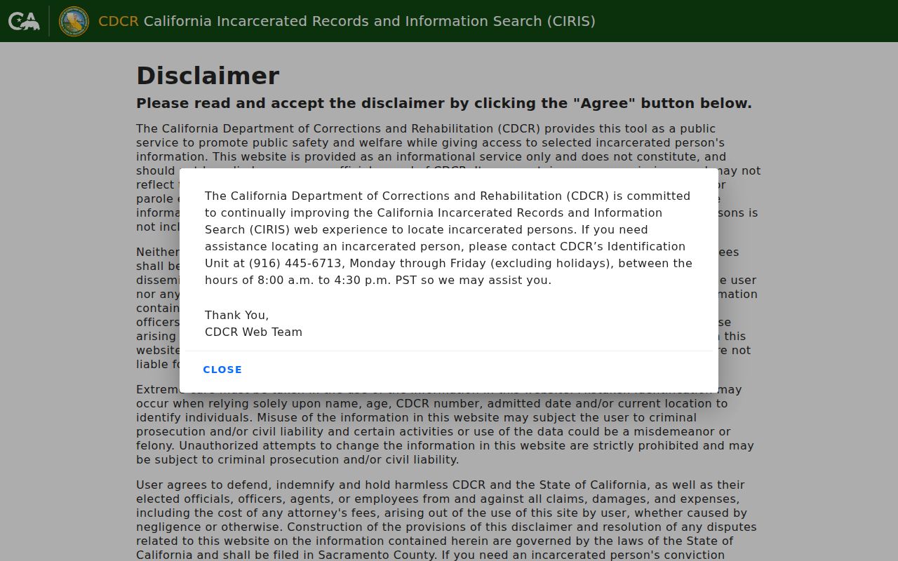
The locator’s result belongs to the custody system that publishes it. It does not prove a current Oakdale address or a connection to a nearby parcel.
Image context: the California Megan’s Law search provides an official registry route with statutory limits and map or name modes.
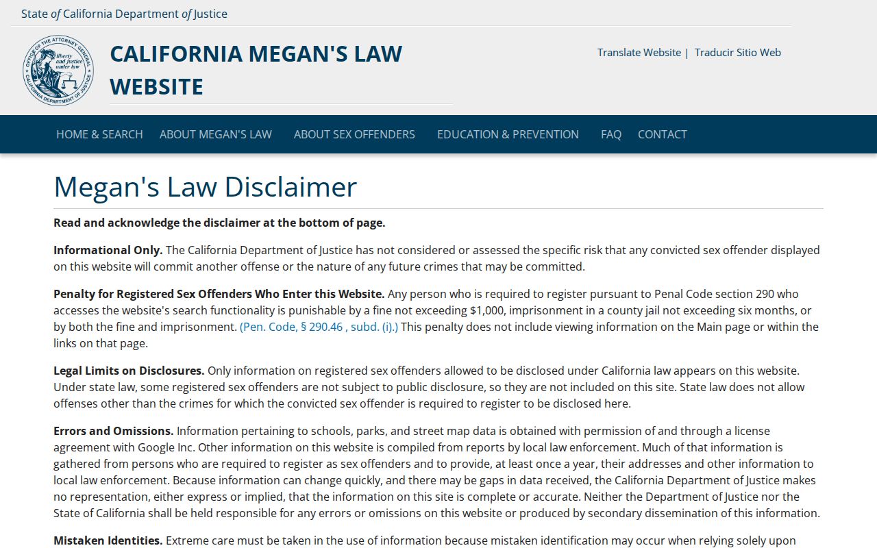
Registry information carries warnings against harassment and misuse. Keep the result in its official context and do not infer guilt, risk, or neighbor status from a map point.
Image context: the Oakdale Police information portal is the local channel for department information and a records request question, not a public neighborhood roster.
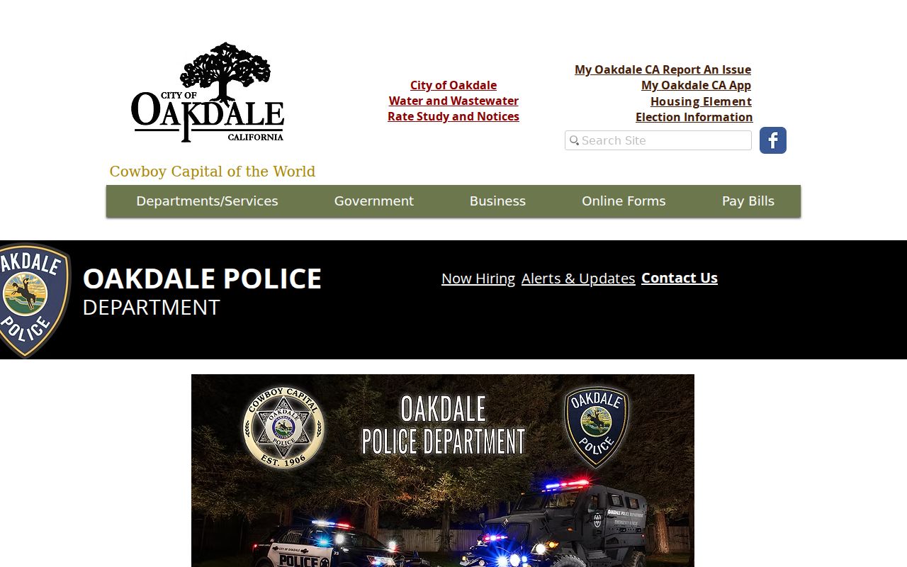
Police records remain case-specific and may withhold victims, juveniles, confidential sources, investigation material, or other protected information.
Oakdale Neighbors, Geography, Limits, and 95361
Oakdale’s city limit and sphere of influence do not cover the entire 95361 postal area. A parcel on the rural edge may use Oakdale in its mailing line while county offices handle permits or code records. A development or annexation document may explain a block’s present geography, but only GIS and the parcel record tie the question to a specific jurisdiction.
For neighbor research, write four labels next to the address: incorporated city, postal ZIP, parcel jurisdiction, and historical subdivision or development. Then decide whether “neighbor” means adjacent polygon, same postal route, same development, same school geography, or historical directory block. A clear definition prevents a broad mailing area from becoming a false neighborhood.
When an Oakdale Neighbor Lookup Stops
Household members, visitors, utility customers, protected voters, juveniles, sealed-case parties, and people omitted from a directory may not appear in any public source. California Safe at Home can substitute an address and protect voter registration. DMV information is restricted. The California Consumer Privacy Act provides covered-business rights to know, delete, correct, limit certain sensitive-data uses, and opt out of sale or sharing, subject to exceptions. Those rights do not turn official land records into a private search database.
Lawful use. Oakdale neighbors research supports parcel curiosity, civic understanding, family history, and personal safety awareness. Do not use a block record to watch, stalk, harass, threaten, or intimidate anyone.
Image context: California consumer privacy guidance describes rights and opt-out tools relevant to covered-business data.
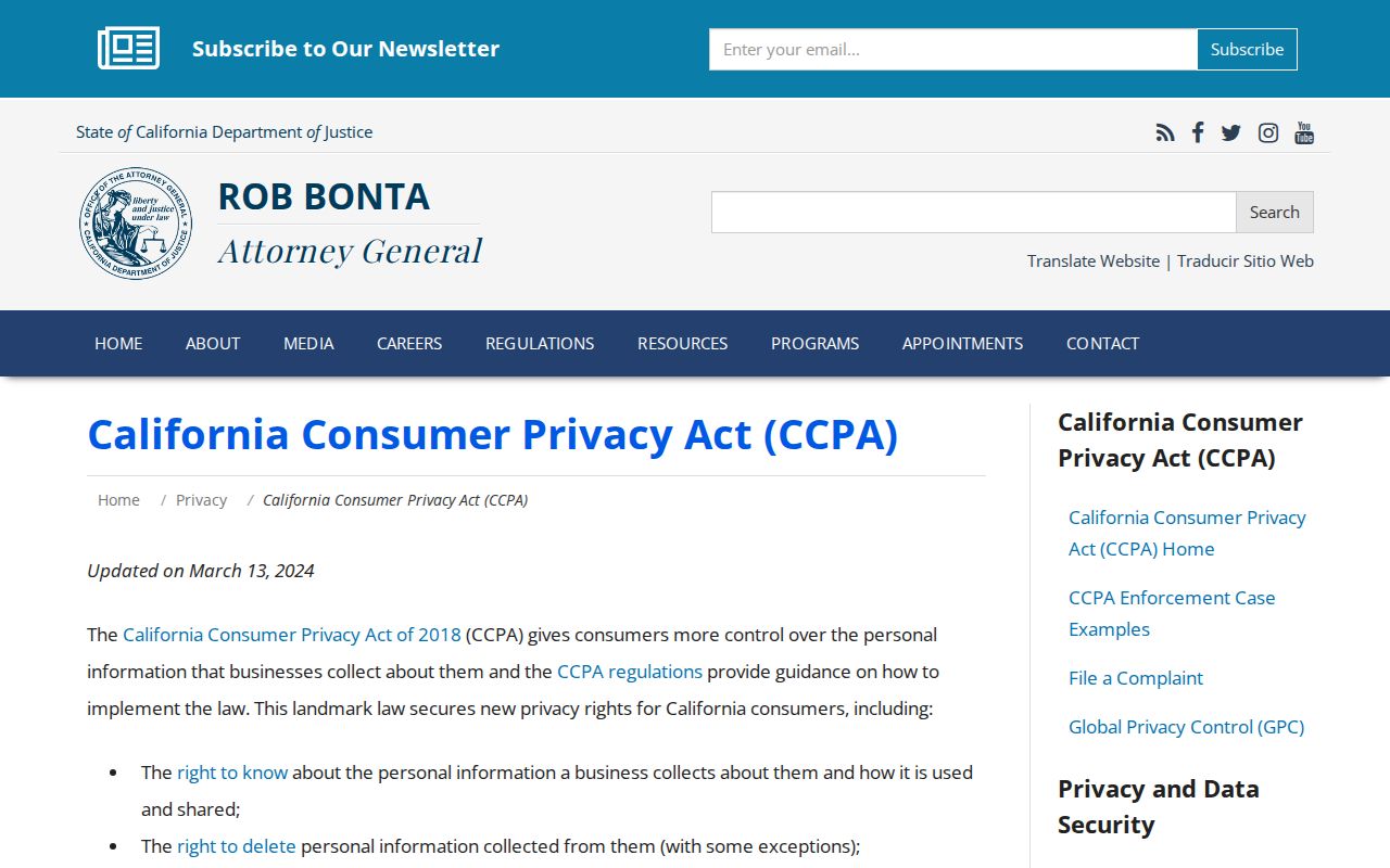
That privacy route can help manage data held by covered businesses, but it does not authorize a person to alter a county deed or public parcel map.
When a request moves from the immediate block to every address along a street, use the Oakdale Street Directory workflow. The neighbor lookup should remain local, source-labeled, and limited to what the public record actually shows.