
Oakdale's Verified ZIP Code
The research confirms ZIP 95361 as Oakdale’s standard postal area. It includes the city and postal territory beyond municipal limits. The record did not verify a separate Oakdale PO-box-only ZIP or a ZIP split or realignment. That narrow, verified fact is the foundation of the Oakdale ZIP code directory. More ZIP rows should not be invented to make the table look fuller.
| ZIP | Areas covered | Post office | Notes |
|---|---|---|---|
| 95361 | Oakdale city and postal territory beyond the city line | Oakdale Post Office | Standard ZIP; includes rural and fringe addresses; no separate PO-box-only ZIP verified |
ZIP geography is a delivery system, not a resident roll. A result that says Oakdale, California, 95361 can still sit outside city service boundaries. For records, treat the ZIP as a first narrowing clue, then use the parcel, legal description, and jurisdiction to choose the next office.
Oakdale's ZIP 95361 Beyond City Limits
Oakdale’s city limit and sphere of influence sit inside a wider postal area. The official land-use diagram shows incorporated land, current and future spheres, and a broader planning area. Roads such as State Routes 108 and 120, River Road, Albers Road, Patterson Road, Crane Road, and Warnerville Road connect city and fringe geography. The mailing city can stay the same while the governing permit or code office changes.
The mismatch affects a postal search in two ways. First, a business, license, or unclaimed-property portal may return a 95361 result that is not a city parcel. Second, an Oakdale city record may not exist for a property with an Oakdale mailing line because the parcel falls under county jurisdiction. Confirm the location in GIS or an Assessor map before sending a request.
The Oakdale land-use and planning map is a jurisdiction aid, not a USPS boundary file. Use it with the exact parcel rather than treating a planning line as a delivery route.
Oakdale Post Office and ZIP Delivery
The Oakdale Post Office is listed at 170 California Avenue, Oakdale, CA 95361-9998, telephone 209-847-4030. It offers carrier service, General Delivery, and PO Boxes. Posted retail hours are weekdays 8:30 to 5:00 and Saturday 9:00 to 4:00, subject to change. USPS is the authority for whether a supplied address receives the listed postal area, not for who lives at that address.
Image context: the USPS Oakdale Post Office details provide the delivery-office route for a ZIP code directory search.
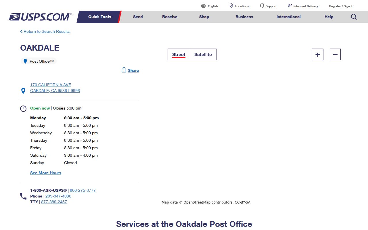
The post office page helps verify services and hours. It does not publish a list of residents, parcel owners, or postal customers.
Narrowing Oakdale by ZIP Code
A ZIP code search should move from broad geography to one official field. Start with the clue you have, then use the following order. A postal-area search is most reliable when the ZIP narrows a search without being treated as identity proof.
- Validate the full address, city, and ZIP with the USPS ZIP Code Lookup.
- Use the county GIS hub or Accela address search to identify the parcel, APN, and city or county jurisdiction.
- Use the APN in the Assessor inquiry or public kiosk, separating owner, situs, and mailing fields.
- For a business or license clue, apply the ZIP or city filter only where the official state portal offers one.
- For a historical household, move to library directories, census sheets, newspapers, or probate rather than assuming the ZIP proves residence.
The same ZIP can include many parcels and several record custodians. Save the address validation and APN, then switch from postal geography to the record type that answers the question. Once the ZIP has narrowed the search to a street, continue with the Oakdale street directory address workflow.
Image context: the USPS ZIP Code Lookup is the address-by-address validation tool that belongs at the start of the workflow.
USPS confirms delivery assignment for the supplied address. It does not return a list of Oakdale residents for the ZIP.
Oakdale ZIP Fields in State Portals
Some state systems accept city or ZIP as a filter, while county property tools often expose address components without a free ZIP-wide owner browse. The research confirms ZIP-capable routes for DCA licenses and Secretary of State business searches, but it does not document a public GIS ZIP filter or a free county resident export. These fields narrow an official search; they do not create an Oakdale resident roster.
| DCA board or bureau | Choose the board or bureau and license type before using person, business, city, county, or ZIP fields. |
|---|---|
| DCA identity field | License number, business name, first name, or last name, depending on board. |
| Secretary of State bizfile | Entity name or number with advanced filters; result may include address and agent fields. |
| Assessor address fields | Published schema includes situs and mailing address, but free ZIP-wide owner browsing is not documented. |
| GIS | Spatial selection and parcel layers are documented; a verified ZIP filter is not. |
When a state portal returns a 95361 match, verify the address and entity identity through the result and a second official source. A city or ZIP field may describe the address of record, a business location, or a mailing contact.
Oakdale ZIP, Situs, Mailing, and APN
Postal and land records use similar-looking address words. A ZIP code is a delivery area. A situs is the physical parcel location. A mailing address receives tax or other correspondence. An APN is the Assessor’s map and roll key. A legal description identifies the land through a lot, block, subdivision, or metes-and-bounds language.
- ZIP+4
- An added delivery segment within a ZIP, useful for routing but not a resident list.
- PO-box ZIP
- A ZIP assigned to a post-office box area; the research did not verify a separate Oakdale one.
- Unique ZIP
- A delivery code assigned to one institution or restricted area, not the standard Oakdale postal territory.
- Carrier route
- A postal delivery path inside a ZIP, not a public neighborhood roster.
- APN
- The parcel key that connects a map and assessment record to land.
Recorder chains survive street changes better when the legal description remains constant. Parcel splits and mergers can change an APN. ZIP assignments can also describe a wider delivery area than a city boundary. Keep all identifiers in separate columns when building a family-history or parcel note.
Oakdale ZIP: City or County Permit?
A 95361 mailing line does not select the permit custodian. Oakdale Community Development handles city planning, entitlements, annexations, building checks, permits, inspections, and code enforcement for city work. County development records can apply when the parcel is outside the incorporated limit or falls in the wider fringe. GIS, the Assessor map, and the official land-use diagram help choose the first request route.
Ask for existing fields by address or APN, with a date range and the desired electronic format. Useful fields include permit number, application and issue dates, final status, work description, applicant, contractor, and parcel. A city request under the California Public Records Act should identify records, not ask a department to compile a biography from a ZIP code.
Boundary check. Use USPS for delivery, GIS for parcel and jurisdiction, and the city or county custodian for the record created there.
Oakdale Census Geography and ZIP Boundaries
The National Archives provides census access through released household records, currently through 1950 under the 72-year rule. Census enumeration areas and city boundaries can change by year. A Census geographic approximation such as a ZCTA is not the same as the USPS delivery definition. For an older Oakdale household, use the census sheet, directory, and map for that year rather than filtering a modern ZIP.
Image context: the National Archives census research page is the federal access route for released household sheets and census guidance.
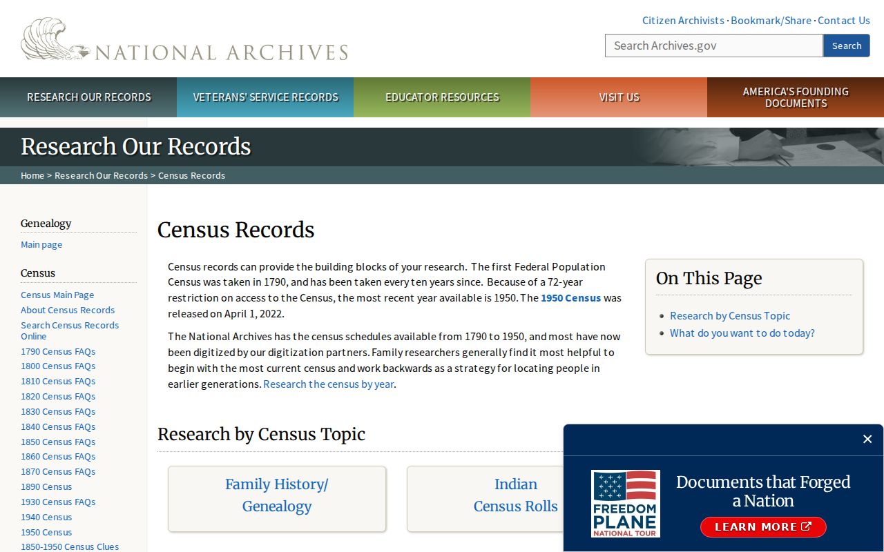
Census geography can explain why an older resident appears under a township, precinct, rural route, or different enumeration description instead of a modern Oakdale ZIP.
Why Oakdale ZIP Lists Stay Closed
The free tools documented for Oakdale do not publish a complete list of residents by ZIP. USPS verifies one address. The Assessor exposes APN-led facts and public kiosk data, while unrestricted owner-name or situs web searching is a restricted Agency Inquiry. The voter system is private self-service, and a street or ZIP filter requires a qualified-purpose file. GIS shows parcels and layers, not all occupants.
That limit protects accuracy as well as privacy. A ZIP can include owners, occupants, businesses, rural parcels, PO Boxes, and mailing addresses outside the city. A commercial people-finder product may merge these categories and charge for a result without proving it. Official sources should be used for the narrow fact they actually maintain.
Lawful use. A ZIP code directory supports delivery checks, parcel research, family history, and public organizational research. Do not use a ZIP, address, or name trail to stalk, harass, threaten, or harm anyone.
Oakdale Roads on the ZIP Fringe
Oakdale’s postal area makes rural geography part of a normal ZIP code directory search. State Routes 108 and 120, River Road, Albers Road, Patterson Road, Crane Road, and Warnerville Road run through a landscape that includes city parcels, county fringe land, development districts, and rural addresses. The same ZIP can therefore point to different planning, permit, and record channels. For population and boundary context only, the Census Bureau Oakdale QuickFacts page is a separate source from USPS delivery data.
When an address seems missing, test four geographies: incorporated Oakdale, postal 95361, Assessor parcel jurisdiction, and the historic subdivision or legal description. Then compare the result with a street, deed, or directory source. The research found no documented ZIP split or realignment, so a suspected change should remain a question until USPS or an official map confirms it.
The Oakdale ZIP code directory is most useful when it tells a reader where the postal clue stops. The APN, legal description, and custodian supply the next step.